337
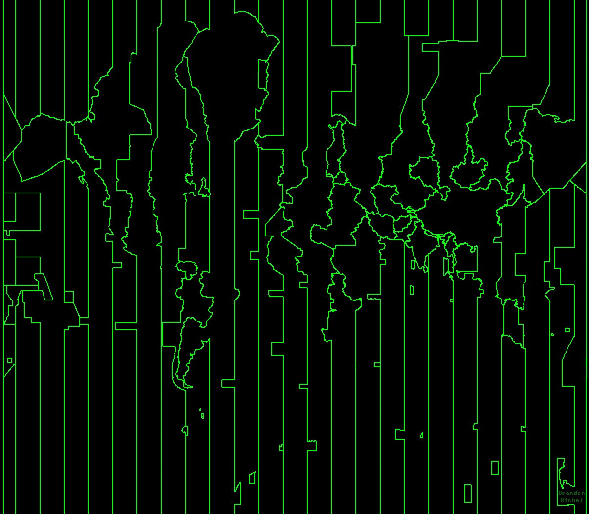
A Map of the World Constructed from Time Zones
(aussie.zone)
For the map enthused!
Rules:
post relevant content: interesting, informative, and/or pretty maps
be nice
Perhaps random was the wrong choice of words. The construction of the theoretical time zones is completely non-random. Some of the country specific changes seem to be though.
I was thinking of the time zone carveouts that wrap around some islands - like Kiribati, where the IDL swings around it with giant straight lines that don't resemble it's EEZ. How were they decided? I can't seem to find anything on it.
Seems though, for most international ocean travel, it doesn't matter (per your excellent links- thankyou). Ships just use an idealized date line at 180 until they hit an EEZ and will use that if they need to communicate with that country.